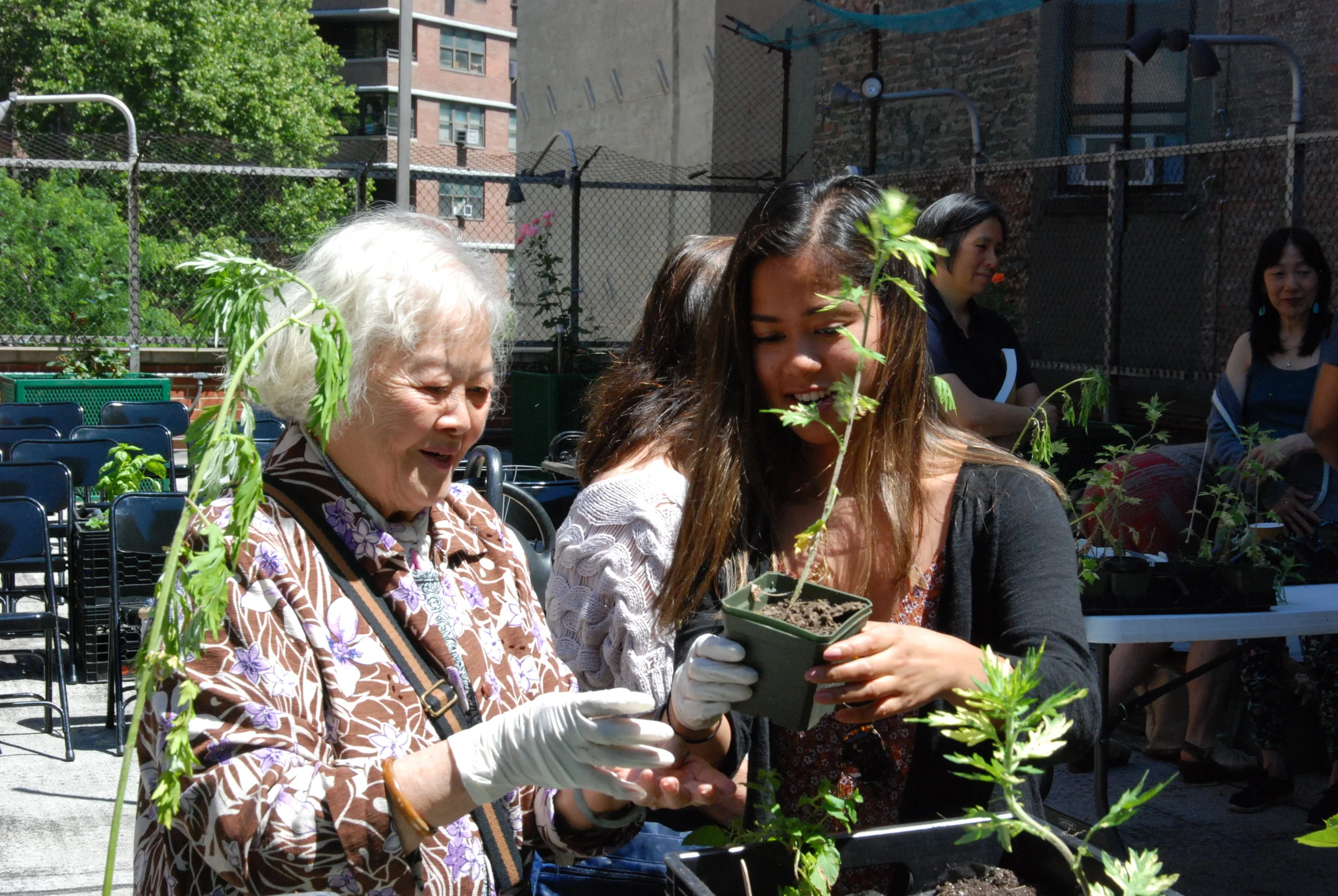
Summer 2018 Intern Juvi works with a Chinese elder to plant medicinal herbs at the Educational Alliance at Mary Ting’s June Workshop
Chinatown, NYC. Is there anywhere like it?
Manhattan’s Chinatown is one of New York City’s oldest, and most densely populated immigrant neighborhoods, and a famous tourist and culinary destination. This area has been home to Asian immigrants for over a century and a half, with early settlers overcoming discrimination to establish long-held family businesses and newer immigrants expanding the community to create a thriving and vibrant district. It’s an urban neighborhood that has changed dramatically over the years and is full of challenges - rampant air pollution, a lack of usable green space, gentrification, and the 9/11 disaster impacts.
Over the last two years, CALL has been testing and developing artist-led projects that delve into the ecological, and cultural landscape of Chinatown. We’ve facilitated projects spearheaded by Asian-American artists and designers that address the pressing environmental challenges of a densely built urban community while celebrating its cultural heritage.
CALL’s projects have addressed topics ranging from its food systems, and traditional Chinese medicine to heat loss in century old housing. We continue to build relationships across diverse constituencies to develop innovative projects that raise awareness of the area’s environmental justice concerns and spur action to make Chinatown a more sustainable community.

How are we getting there?
Artist Projects
Public Programs
Walk Chinatown Virtually
Pedestrian Observations: Mapping Manhattan Chinatown’s Public Realm
Artist and art historian Myles Zhang and designer, architect, and urbanist Stephan Fan, collaborated with CALL to delve deeper into public space use in Chinatown. Pedestrian Observations was inspired by a drop-in event led by Myles and Stephan in Sarah D Roosevelt Park in 2021 where individuals shared observations about street life in Chinatown on a map-inspired outline illustration. Multiple conversations with Chinatown residents and based on walking tours, sidewalk outreach events, and community forums, helped shape the materials, themes, and activities illustrated in the “map.” By highlighting these relationships, we hope to stimulate conversations about how to foster a healthy symbiosis between these spaces and uses: how the public realm can be better used, designed, managed, and re-imagined to shape a more resilient and inclusive public realm.
We aspire that Pedestrian Observations will be a classroom and community resource to equip people with questions to examine their own built environments, as well as a directory of community organizations that engage with these issues.
Pedestrian Observations: Mapping Manhattan Chinatown’s Public Realm is currently on view in Columbus Park.
Over the past five years CALL has been facilitating a series of artist and scientist led walks, workshops and artist programs. These programs have all focused on learning about the touchpoints of concern for the people that live, work and shop in Chinatown. From air pollution to gentrification to the lack of usable green space, the projects CALL have explored have touched on issues that can at time seem intractable, but are soaked with passion, energy, an vision.
These public programs are at the center of our larger projects, and the feedback we get from area residents continually informs the development of the larger initiatives they are a part of.
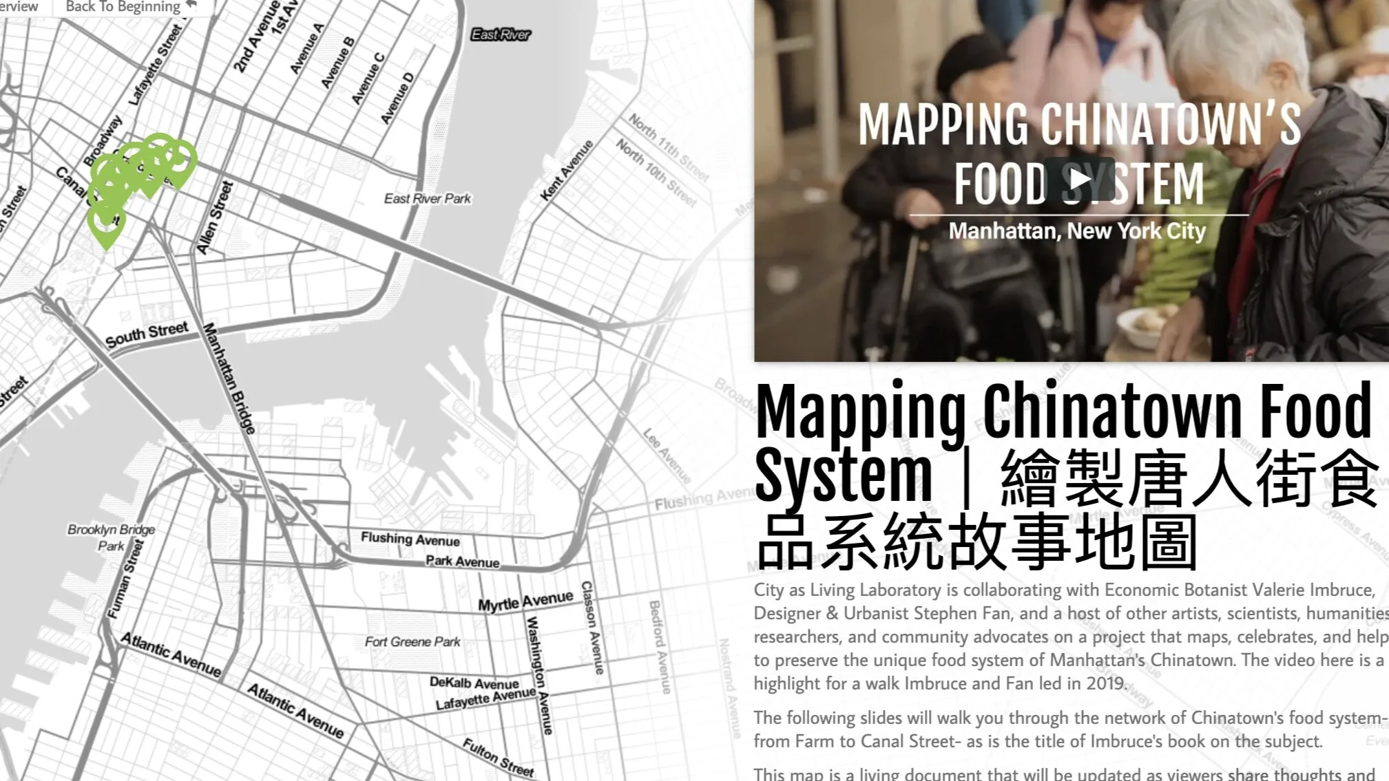
We’ve been working with our partners to create an interactive map of Chinatown’s food system. Join us on this virtual ‘walk’ in your own time, and add to the content of the map and our larger project by giving us feedback on the existing stops, recommending stops to add, or sharing your personal stories, recipes, and photos!
The map is bilingual, and stories can be shared in English or in Chinese.
You can also share your images and stories with us on social media- just be sure to tag @cityaslivinglab #foodstories so we can be sure to find it!


